Google Maps Shows Free Shuttle Routes for Frontliners

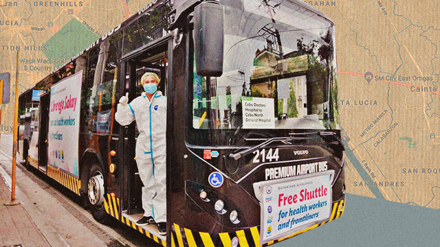
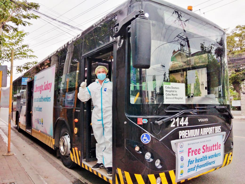
(SPOT.ph) With the modified enhanced community quarantine implemented in Metro Manila, all buses and jeepneys are banned from plying the roads; while the less strict general community quarantine limits passenger capacity—either way, it has become a daily a struggle for frontliners to get to work. This problem is on top of the fact that they have to risk their lives to take care of COVID-19 patients. In an effort to help our healthcare workers, Google Maps adds routes and schedules of free shuttle services provided by the Department of Transportation, Office of the Vice President, and Pasig City to frontliners.
Google initially launched this project in April, but only with services from the transportation agency in place. The routes by the Office of the Vice President all over Metro Manila as well as Pasig City's network of shuttles are significant additions to the app.

"Our goal is to help our frontliners and medical workers—our modern heroes—with the best of our technology. Adding the routes and schedules of the free shuttles and other locally relevant information on Google Maps to make their daily transport easier and more convenient is just one of the many ways we show this commitment," said Google Philippines country director Bernadette Nacario in a statement released on August 13.

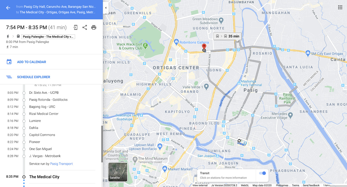
The feature can be accessed in the same way you would use Google Maps pre-quarantine. Just type in your location and destination and tap on "Directions" under the public transit tab (reflected with a train icon). Google Maps will pull up a recommended route that shows the government's shuttle services.
Sakay.ph—a Filipino-made commuting application—also shows transport options available for frontliners.
[ArticleReco:{"articles":["83206","83204","83192","83201"], "widget":"Hot Stories You Might Have Missed"}]
Hey, Spotters! Check us out on Viber to join our Community and subscribe to our Chatbot.
Source: Spot PH